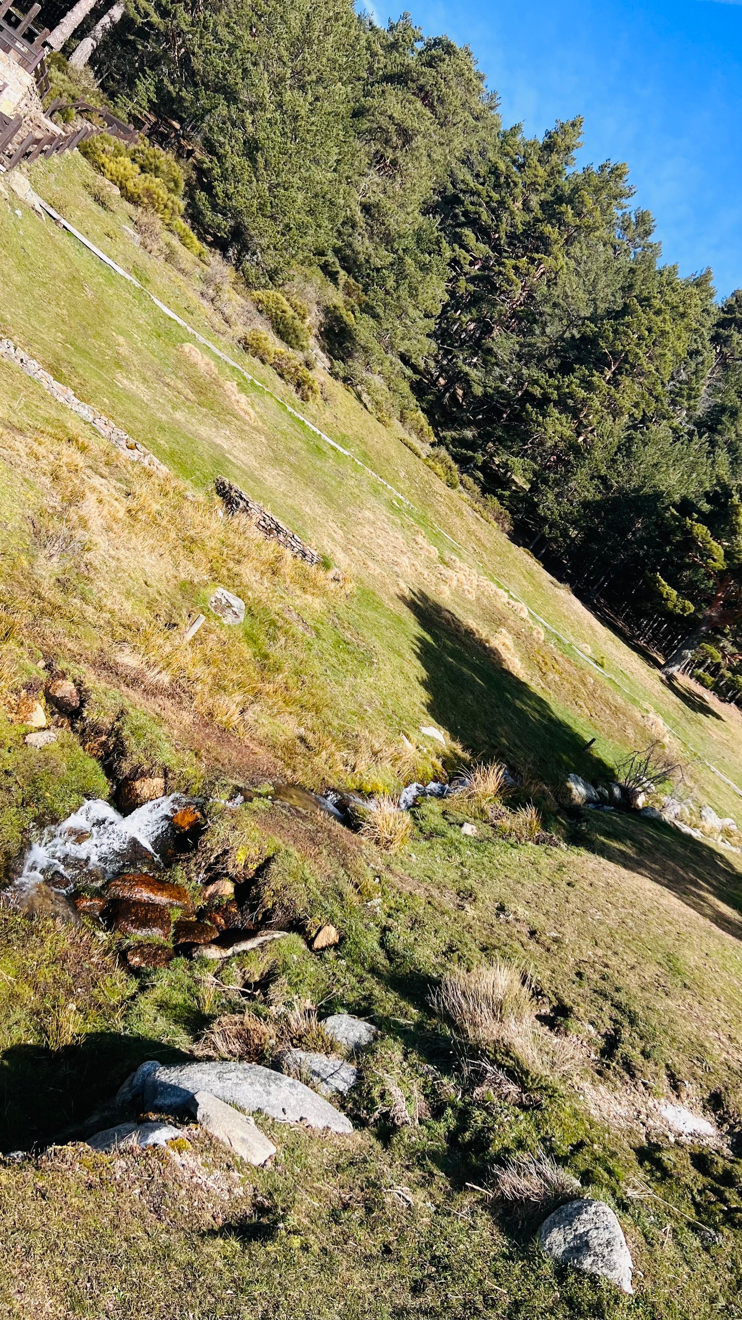
Peñalara peak from Puerto de Cotos
Peñalara peak from Puerto de Cotos
Peñalara is the high one. At 2,428 m it's the top of Guadarrama, and on a clear day you feel like you're standing above half of central Spain. The usual walk starts at Puerto de Cotos and goes up past the old Zabala area to the summit.
It's busier than most sierra days, and harder than Bola del Mundo. The last stretch is steeper and rockier. In summer it's a solid mountain hike. In winter it can turn into a different sport (snow, ice, wind), so treat the season seriously.
Quick facts
- Start / finish: Puerto de Cotos (about 1,830 m)
- Summit: Peñalara, 2,428 m
- Distance: about 11 to 13 km return on the classic out-and-back
- Climb: roughly 600 m
- Time: 4 to 6 hours return, depending on pace and weather
- Feel: moderate to hard. High mountain, exposed near the top
The walk
From the Cotos parking / park visitor area, follow the signed path toward Peñalara. You climb through pine first, then the trees thin and the massif opens up. Pass near Refugio Zabala and keep going for the final push to the trig point.
Some people continue toward the glacial lagoons (Laguna Grande and beyond) for a longer loop. If it's your first time, the summit return is enough. Stick to marked paths. The park is protected and shortcuts wreck the ground.
Wind on the ridge is normal. If cloud drops hard, turn around. Getting lost up there is not a fun story.
How to get there from Madrid
By bus
Take bus 691 from the Moncloa interchange (Intercambiador de Moncloa). It goes up to Puerto de Navacerrada and on to Puerto de Cotos. That's your start. Journey is often around 1.5 hours, so check the current Avanza / CRTM timetable and catch an early one if you want a full day on the hill.
Same bus back down in the afternoon. Don't cut it fine. Missing the last bus from Cotos is a long problem.
By train
Cercanías to Cercedilla, then the C-9 mountain train to Cotos when it's running. Schedules are thinner than the bus, so confirm before you rely on it.
By car
A-6, then up via Navacerrada toward Cotos / Rascafría (M-604). Parking at Cotos fills early on good weekends, and access is sometimes restricted. Public transport is often less stressful.
What to pack
Proper hiking shoes, more water than you think, windproof, sun cream, food, offline map. Poles help on the descent. In winter: real mountain kit. Snow and ice are common, and people underestimate this summit every year.
Go early. Weather window matters more here than on the lower forest walks. This is just a route note so you know what you're walking into.